Underground Utilities Detection & Mapping
Locate & map buried services
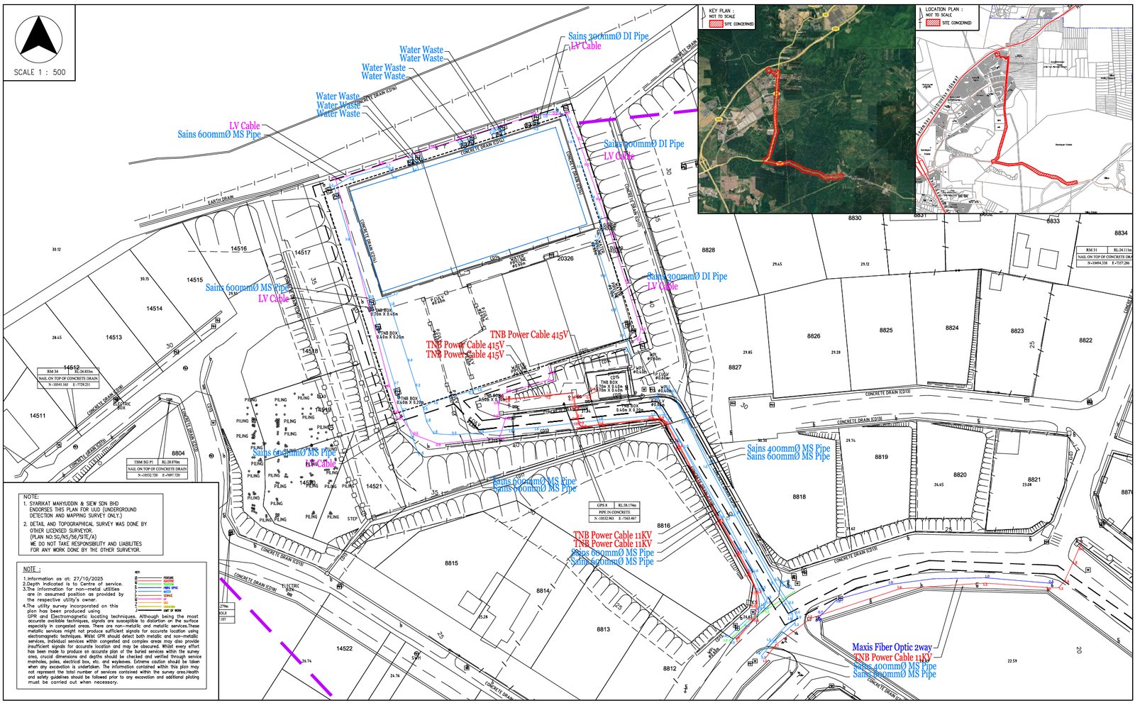
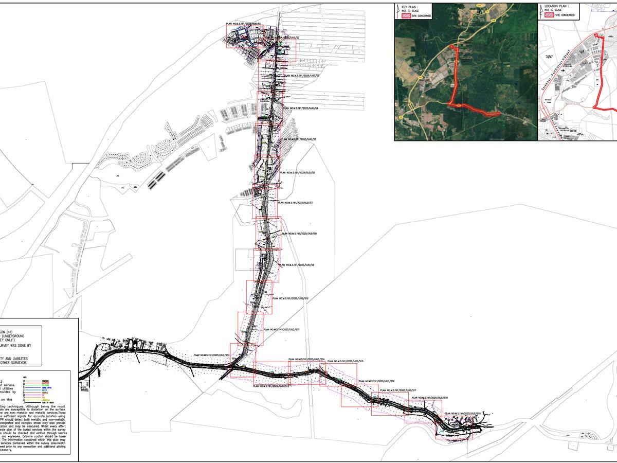
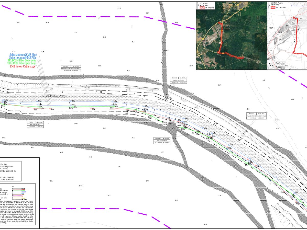
Underground utilities detection and mapping locates buried services — cables, pipes, ducts and drainage — and records their position and depth, producing a utility map that reduces the risk of strikes and costly delays during design and excavation.
Methodology & standards
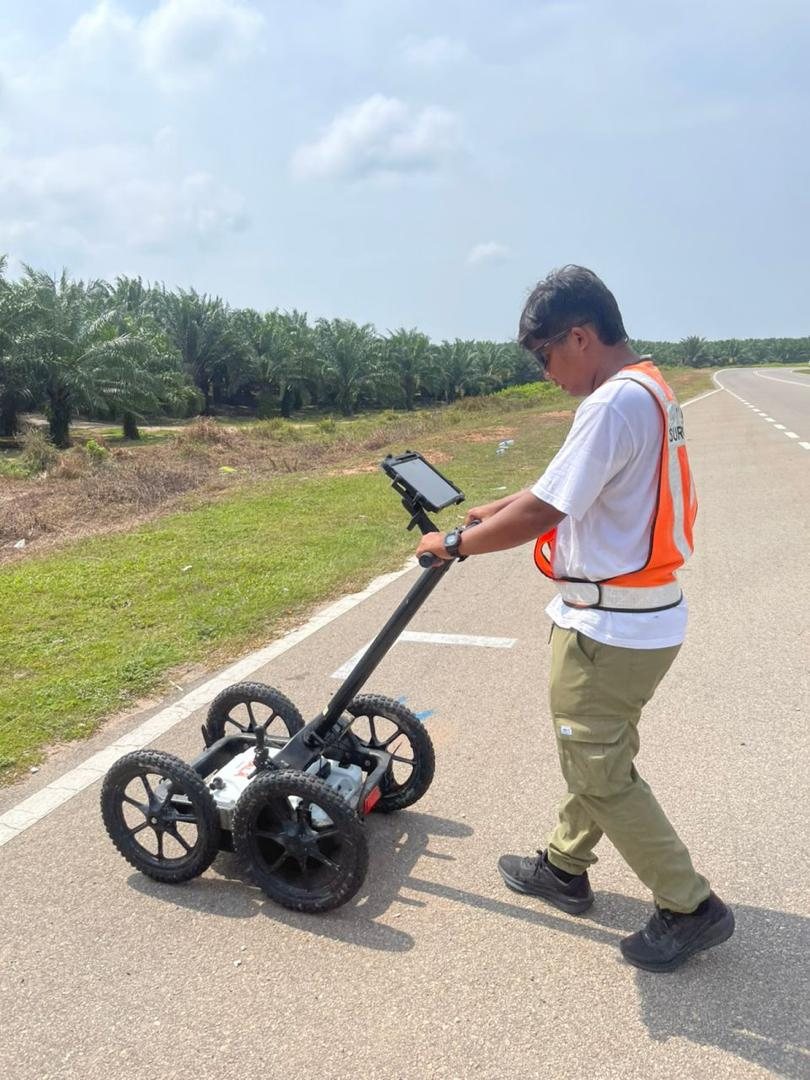
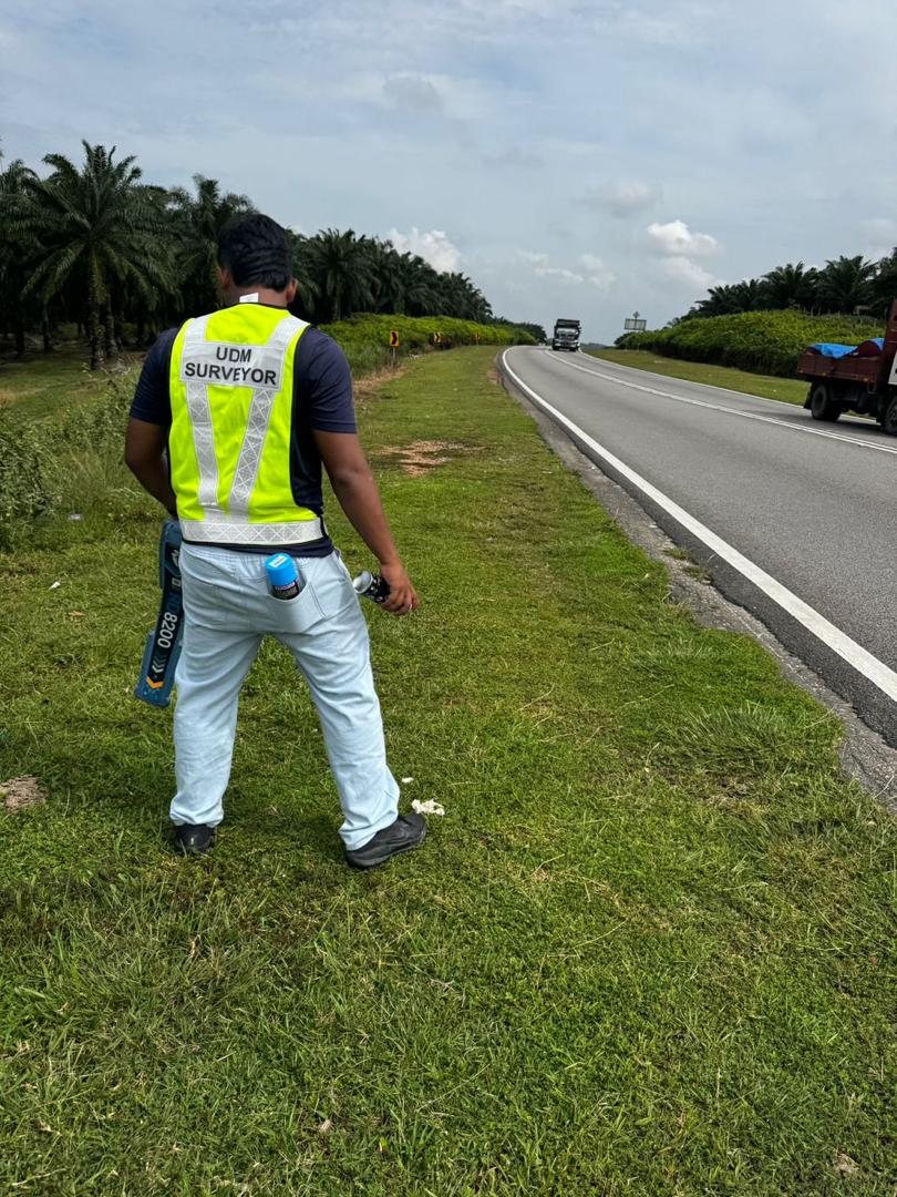
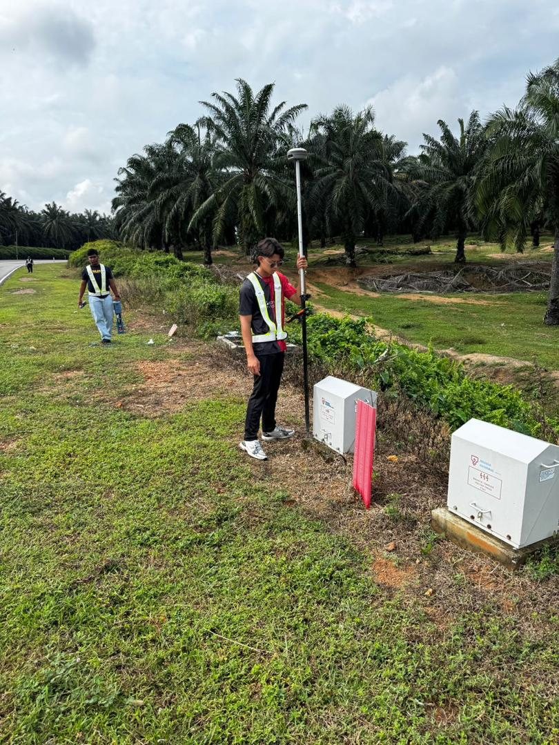
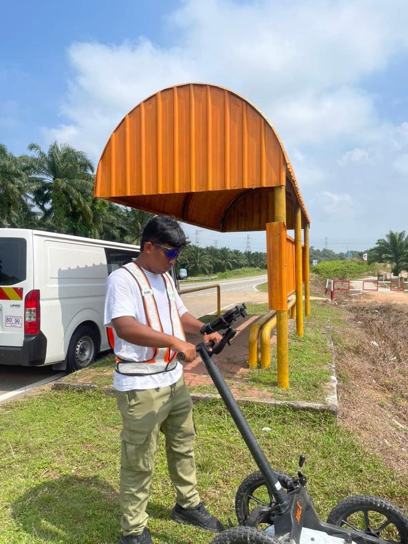
Buried services are traced with electromagnetic locators and, where ground conditions require, ground-penetrating radar. Detected utilities are then surveyed with total station and GNSS and compiled into a georeferenced utility plan, classified by service type, to support safe design and construction planning.
Survey outputs
On site