Terrestrial Laser Scanning
High-density 3D point clouds
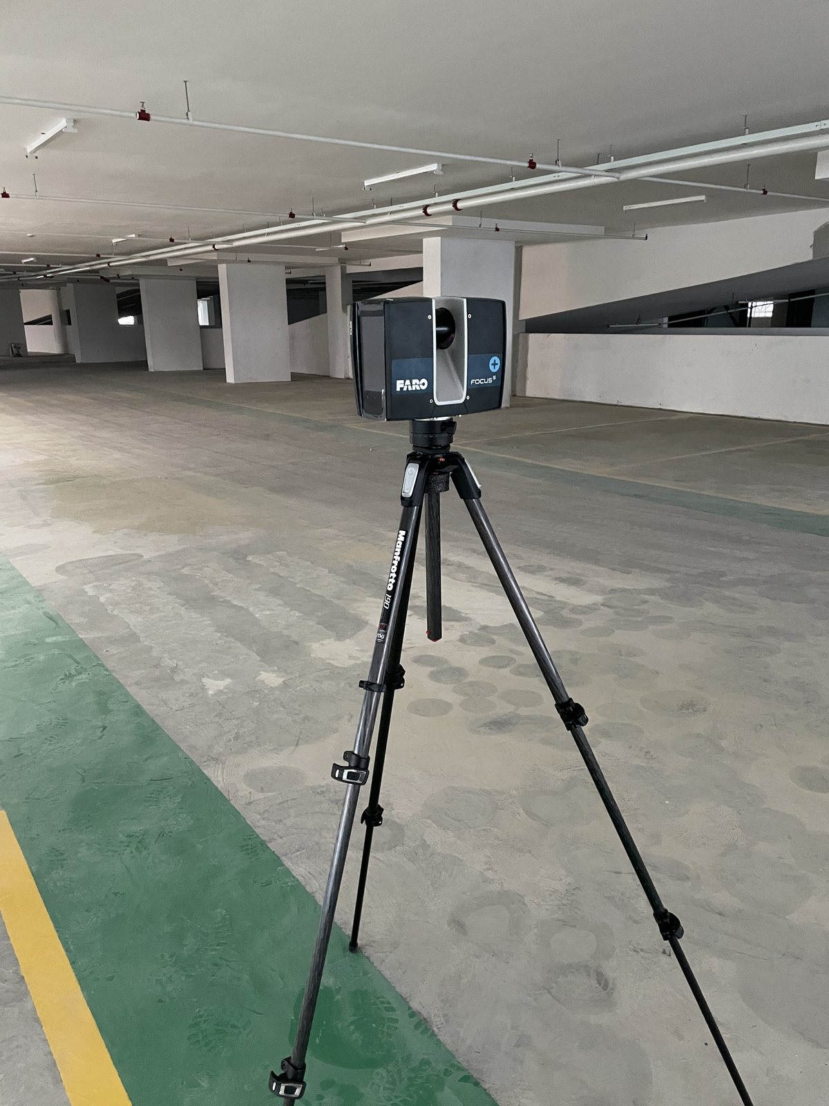
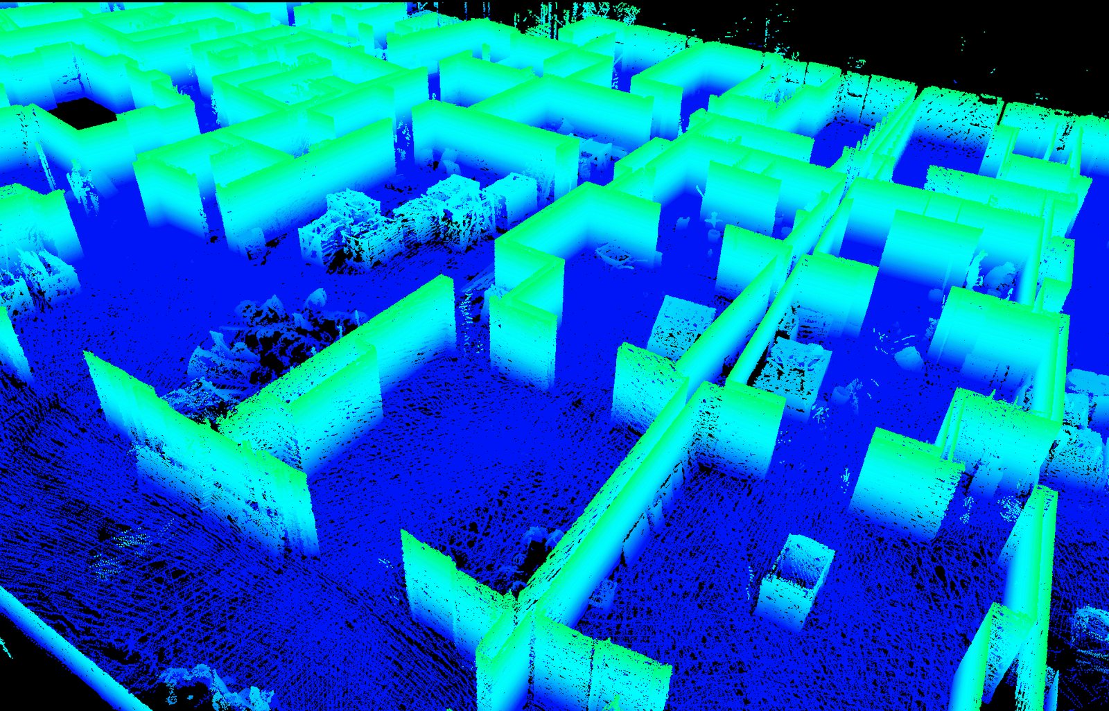
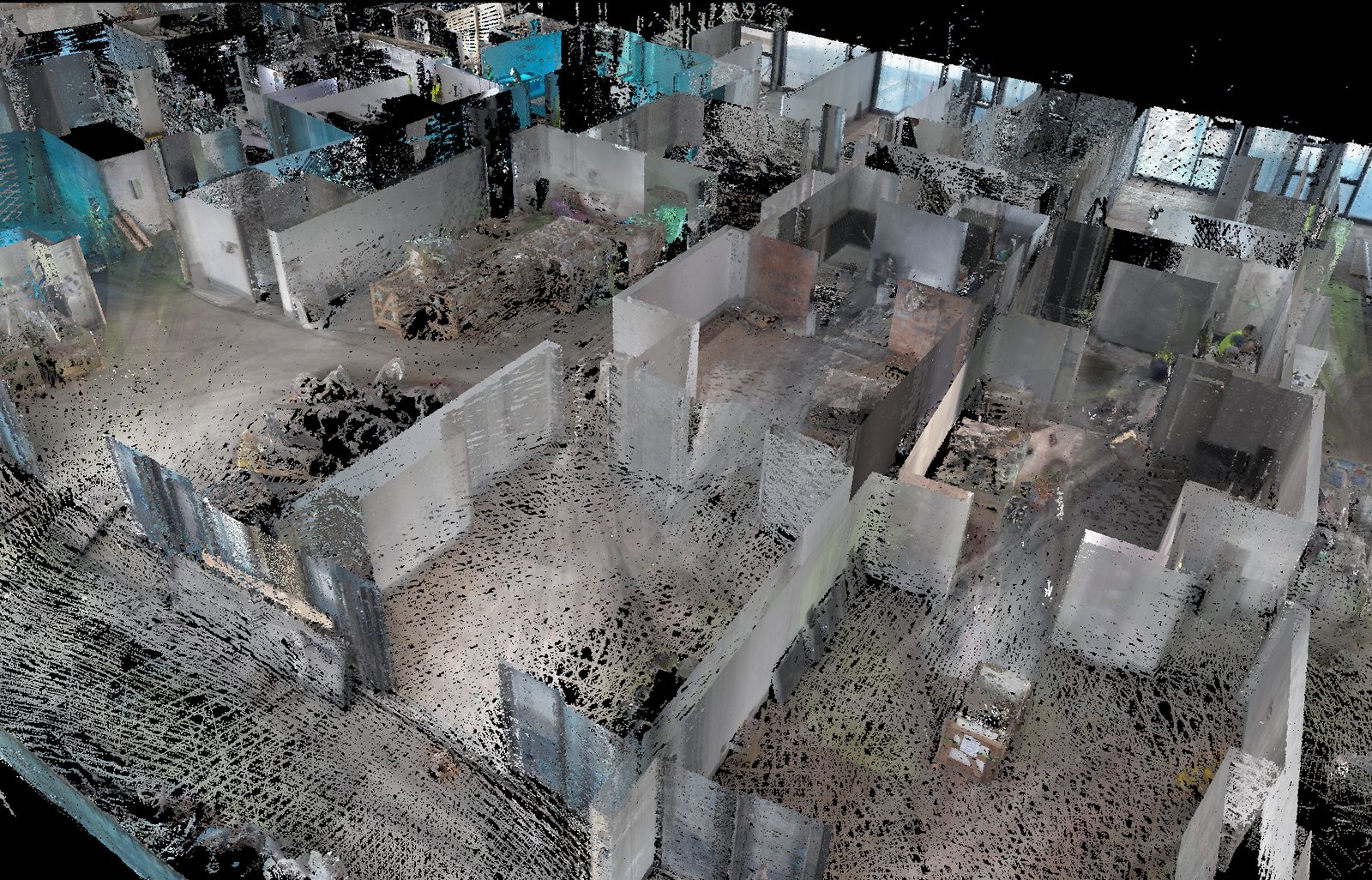
Terrestrial laser scanning (TLS) captures millions of precise measurements from a fixed position to build a dense 3D point cloud of a site, structure or interior. It records complex geometry quickly and safely, and is ideal for as-built documentation, volumes, façades, heritage recording and clash detection.
Methodology & standards
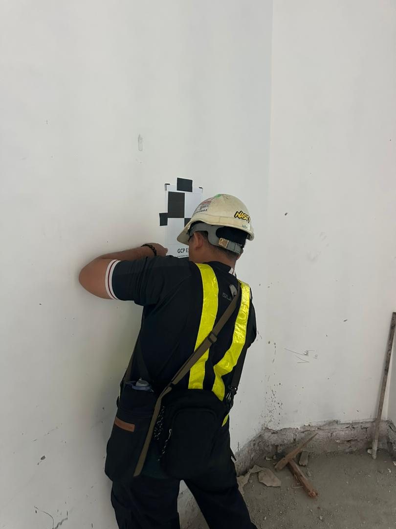
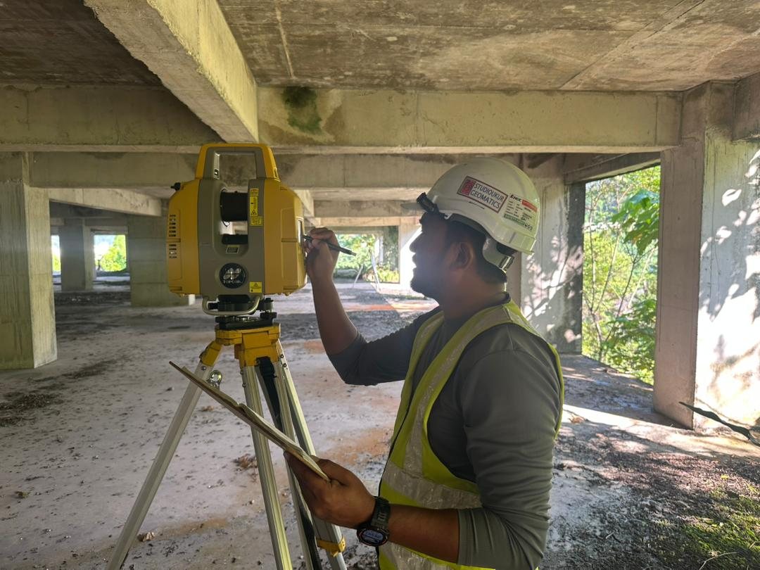
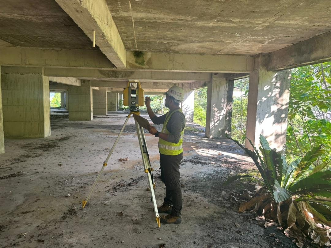
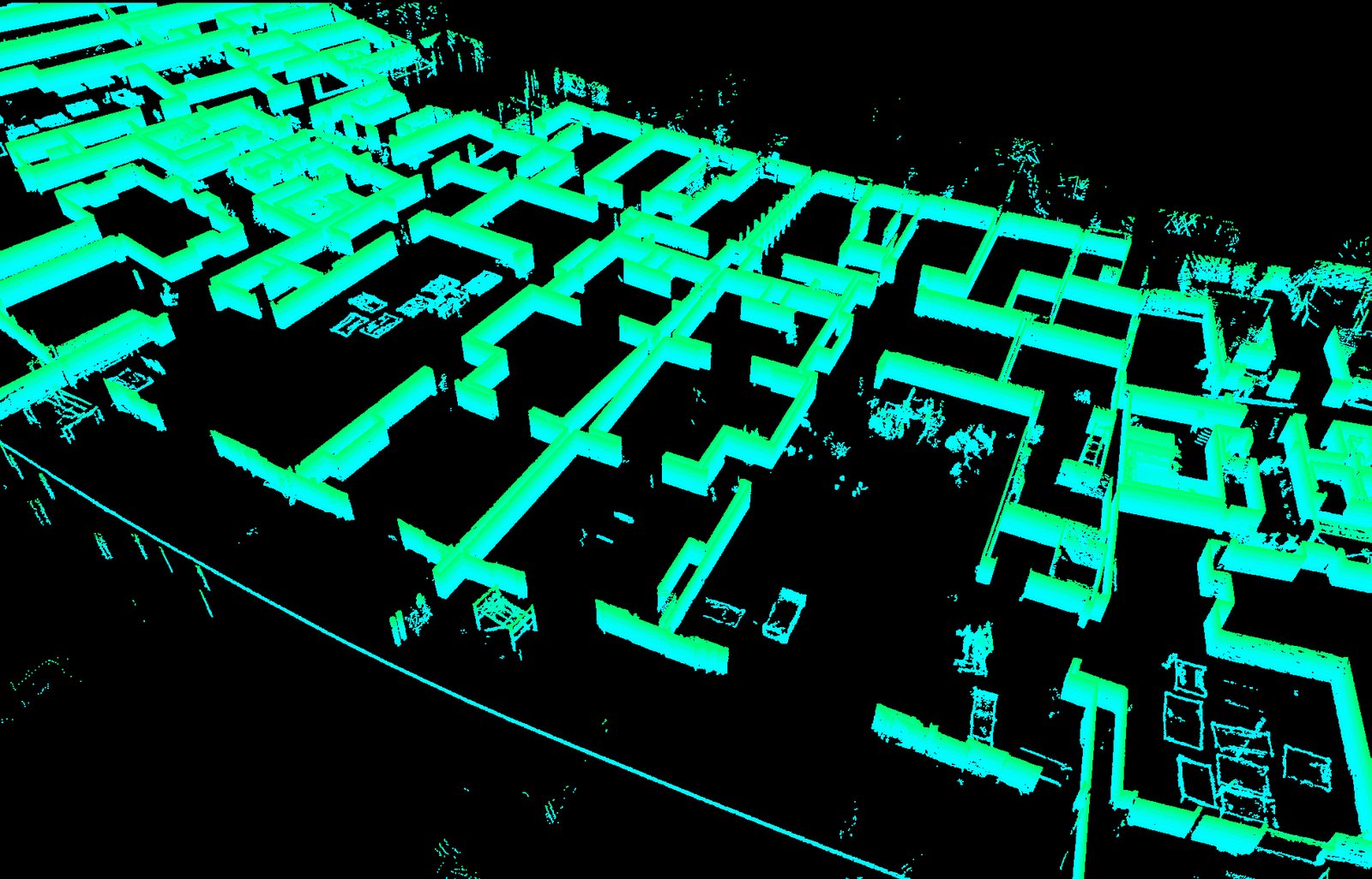
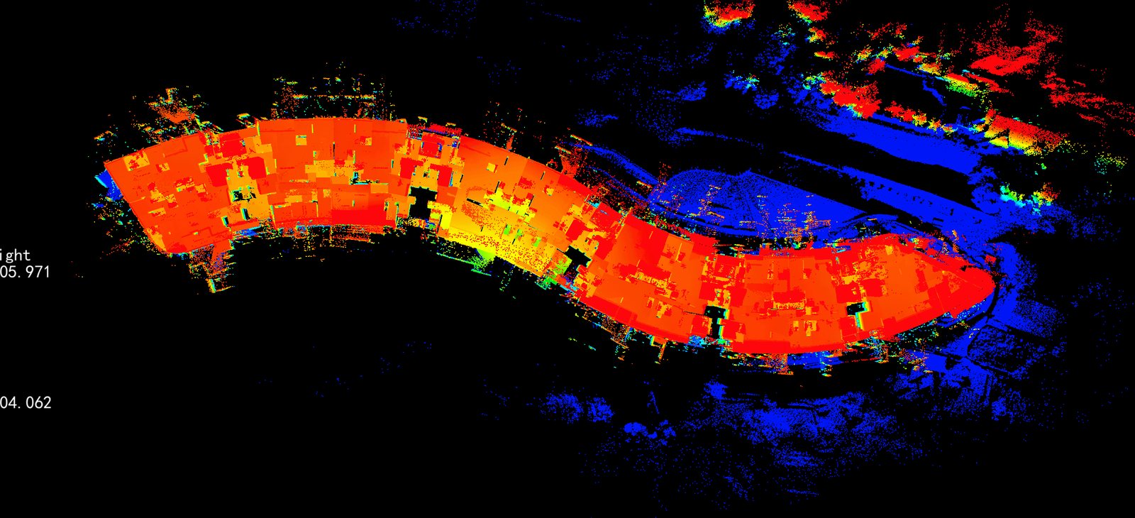
The Topcon GLS-2000 scanner is set up over successive stations, and the resulting point clouds are registered together and georeferenced to survey control. The combined point cloud is then processed into plans, sections, surfaces, volumes or full 3D models as required by the project.
Survey outputs
On site