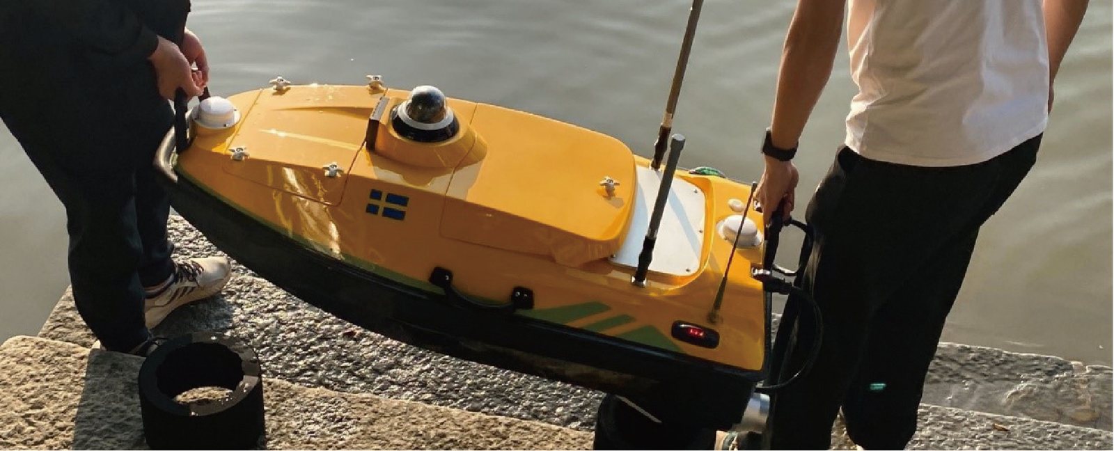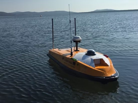
Hydrographic Survey
Bathymetric & nautical surveys
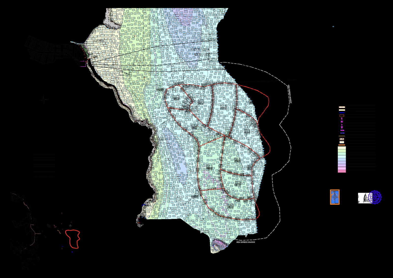
Hydrographic survey depicts the relief of the seabed and its natural and man-made features — much like a topographical map of land areas — and records tidal phenomena such as tide, current, wave, salinity and wind as required by the client. It supports coastal, inshore and offshore works as well as navigation.
Methodology & standards
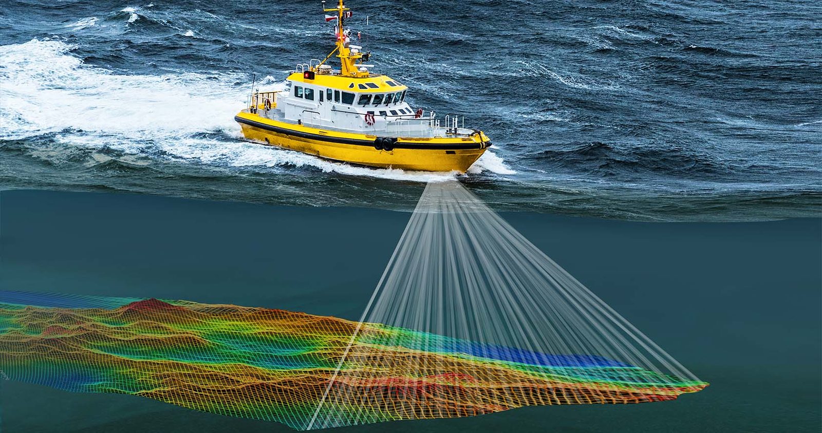
Depending on whether the work is coastal bathymetry, inshore or offshore, a project typically includes mobilisation of personnel and equipment, shore control surveys, establishment of tide gauges with tidal observation and analysis, calibration of electronic systems, the field campaign, data processing and charting, and a compiled survey report. Water depths are measured with echo sounders and reduced to a datum plane at known positions using electronic positioning.
Survey outputs
On site