Engineering Survey
Setting-out, control & as-built for construction
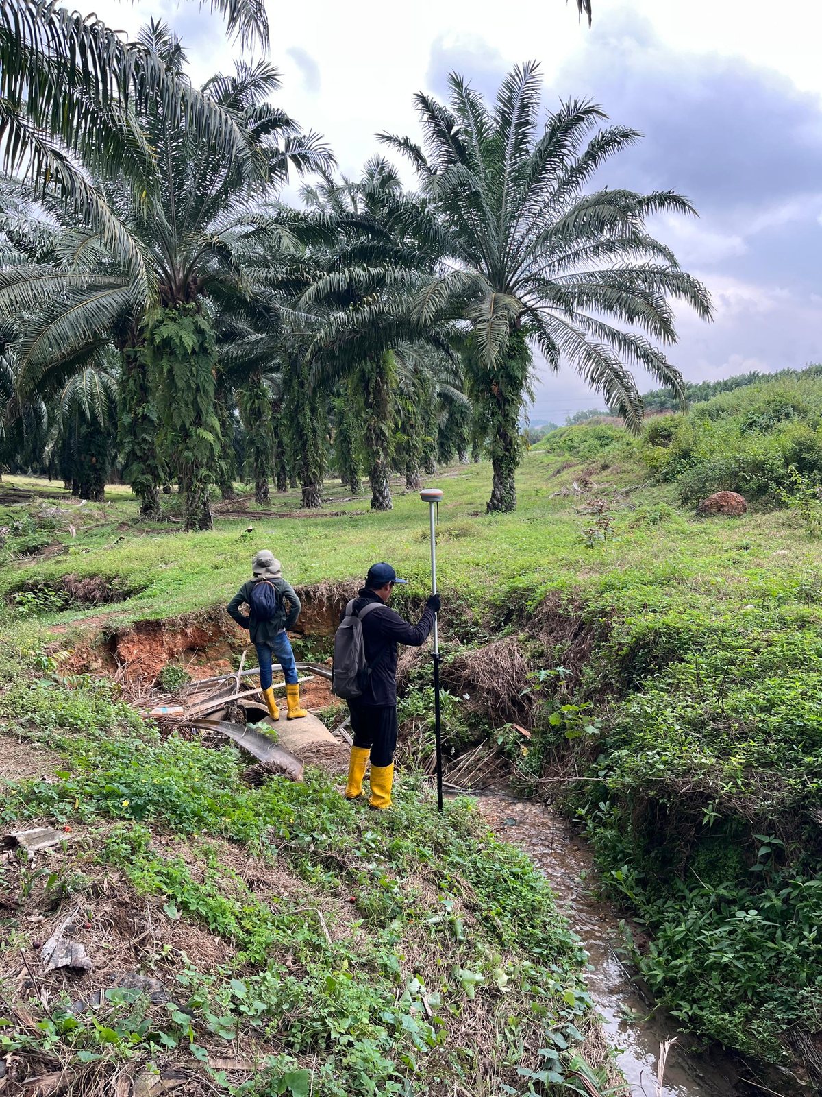
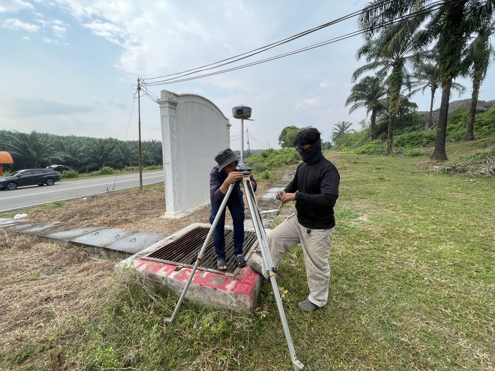
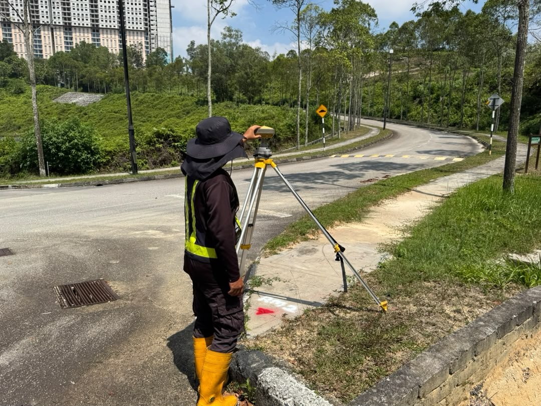
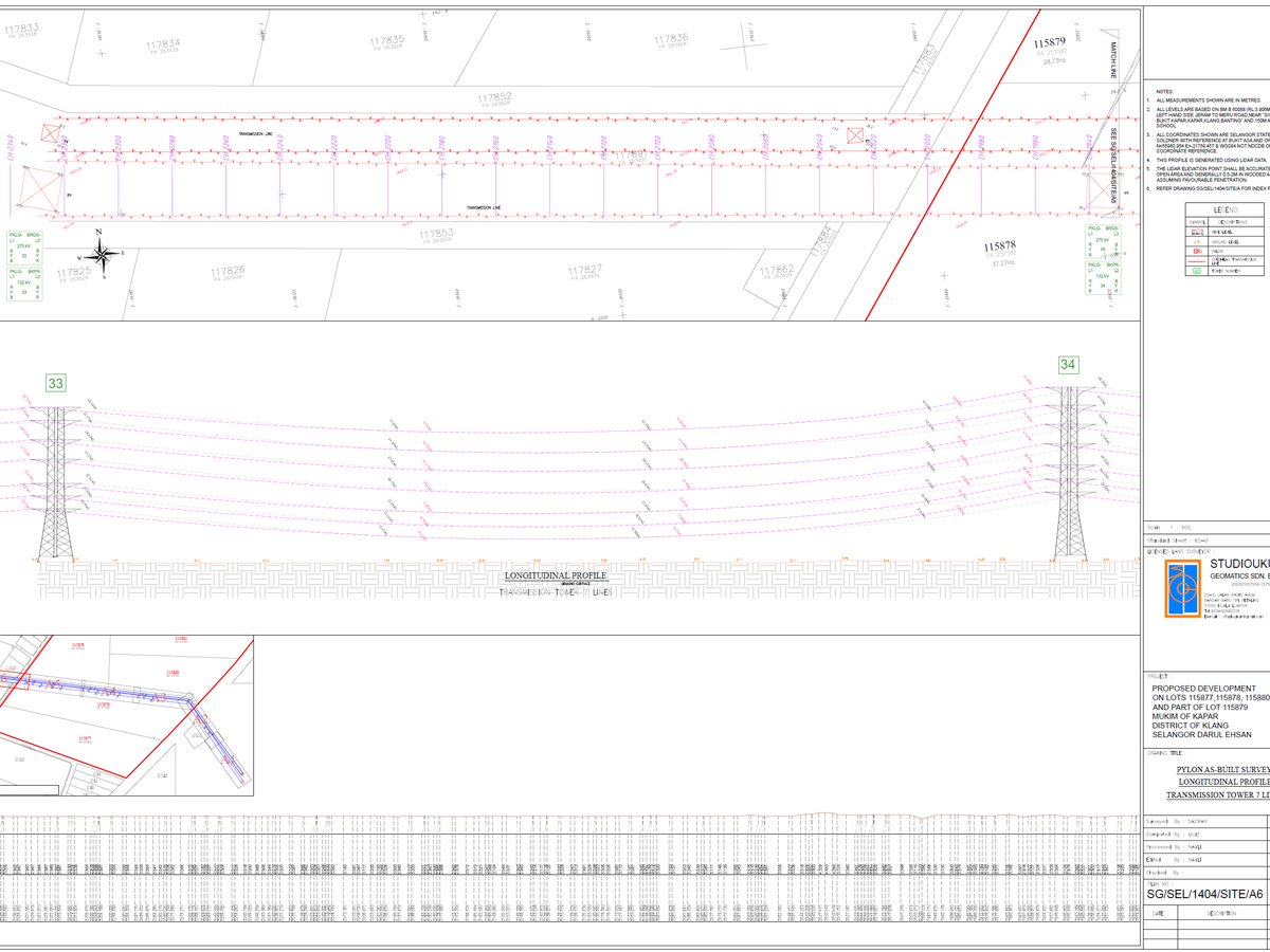
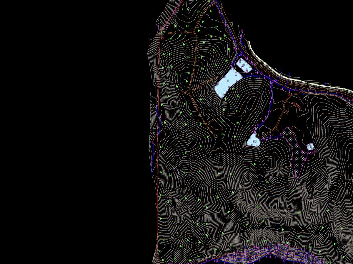
Engineering survey is land surveying conducted to meet three basic requirements of civil works: obtaining ground data referenced to boundary and survey marks to support design; setting out civil structures to their designed horizontal and vertical parameters; and producing as-built plans of completed works for contractual and inventory purposes.
Methodology & standards
Our activities include planimetric control (traverses tied to boundary and survey reference marks), vertical control (levelling runs to Survey Department or proven bench marks), spot-heighting, ground-detail pick-up, profiling and cross-sectioning. Results are delivered in hard-copy or digital format as required, using accurate, up-to-date total stations, levels, data recorders and GNSS where connections to an existing datum are needed.
Survey outputs
On site