Cadastral Survey
Land-title & boundary surveys
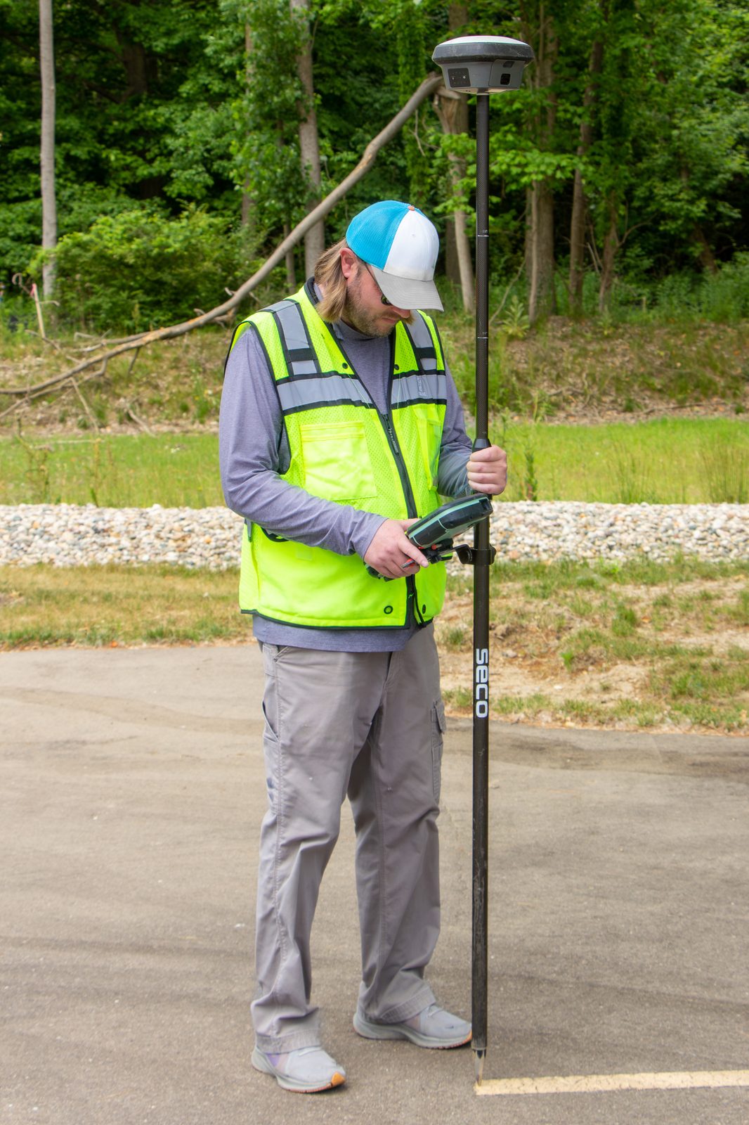
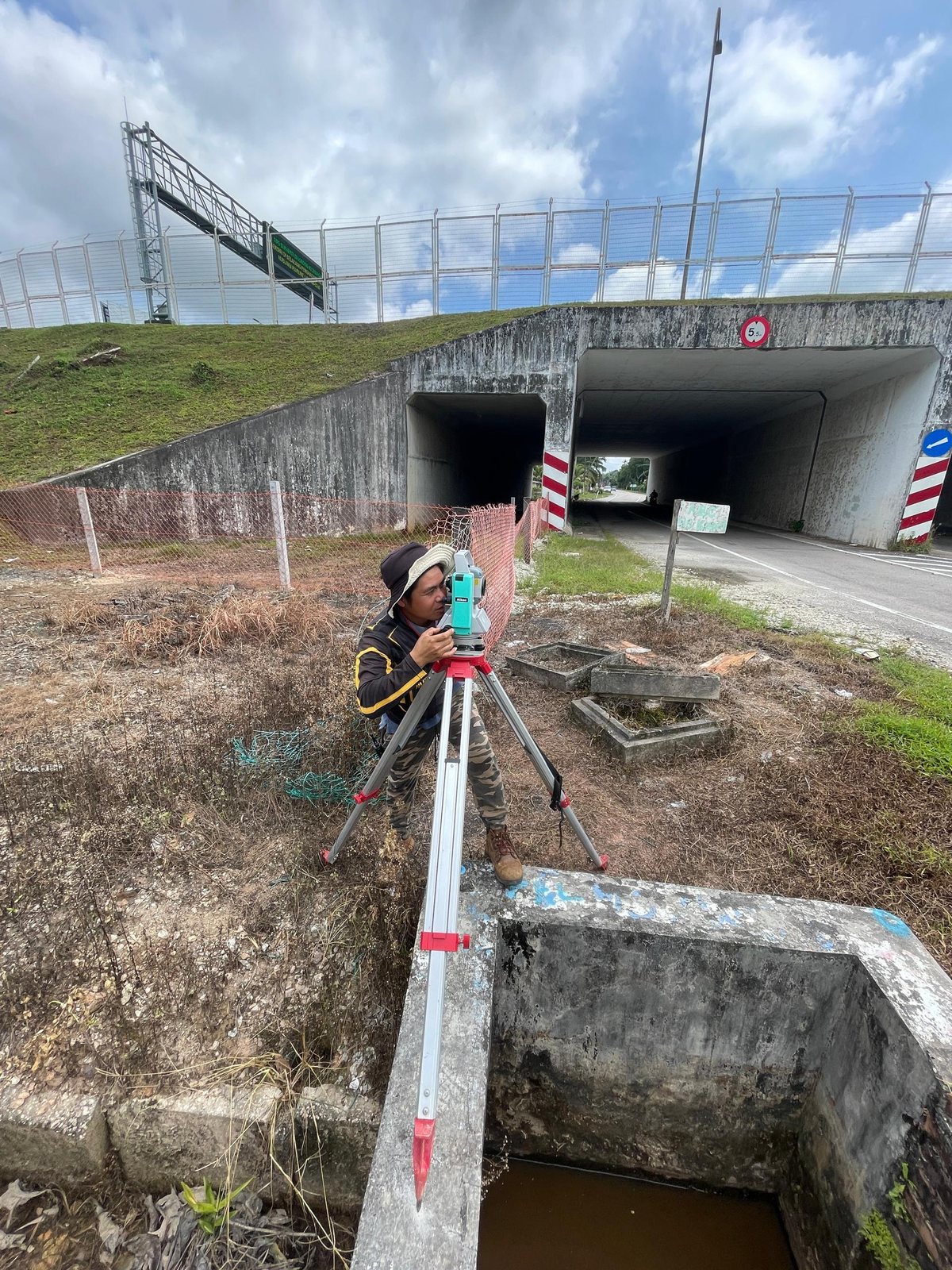
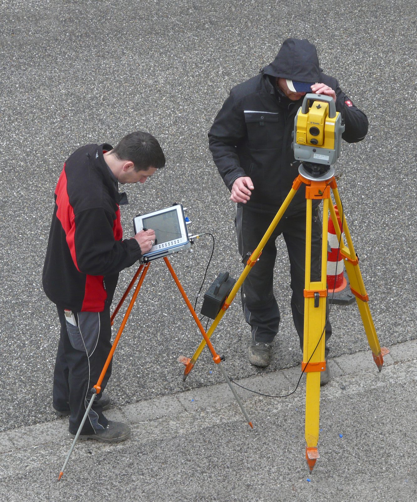
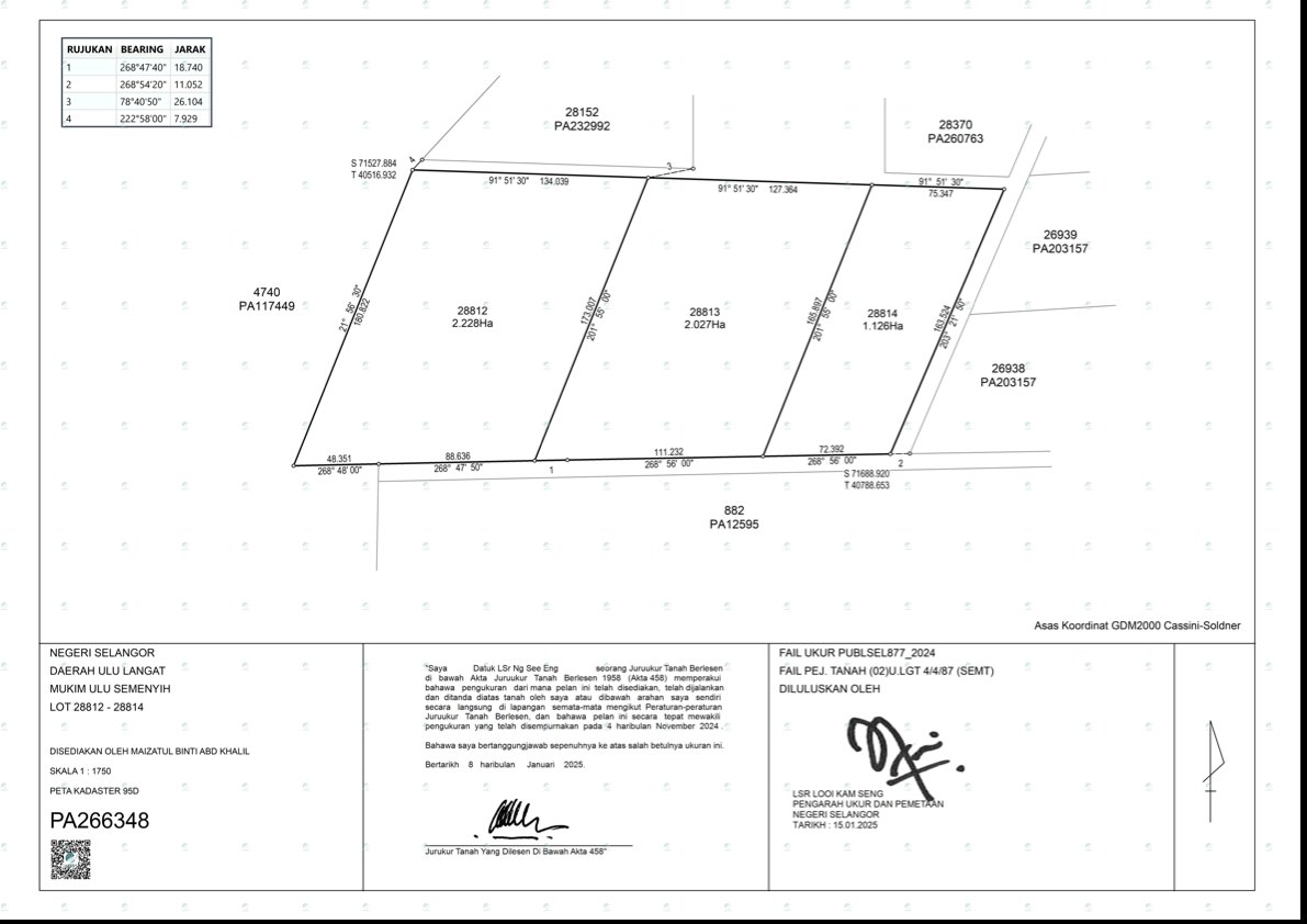
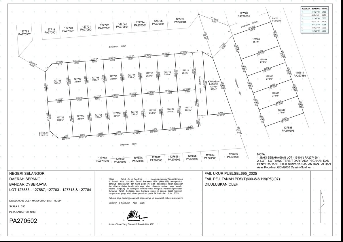
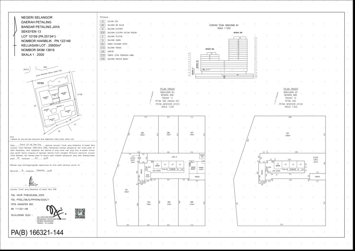
A cadastral survey — or land-title survey — is carried out to produce a cadastral plan: a map that identifies a particular parcel of land for purposes of ownership and registration, showing its boundaries to the degree of accuracy prescribed for the holding of land and transfer of title. The plan enables boundaries to be re-demarcated on the ground, and any survey that relates or connects to a boundary or survey reference mark is cadastral in nature.
Methodology & standards
The methodology for cadastral survey is prescribed under Section 10 of the National Land Code 1965, the Survey Regulations of the Department of Survey and Mapping Malaysia (1976, revised 2002) and the Licensed Surveyors Regulations 1959. Field observations are tied to boundary and survey reference marks and rigorously computed to meet statutory accuracy before the cadastral plan is lodged with the relevant authorities.
Certified plans (Pelan Akui)
On site