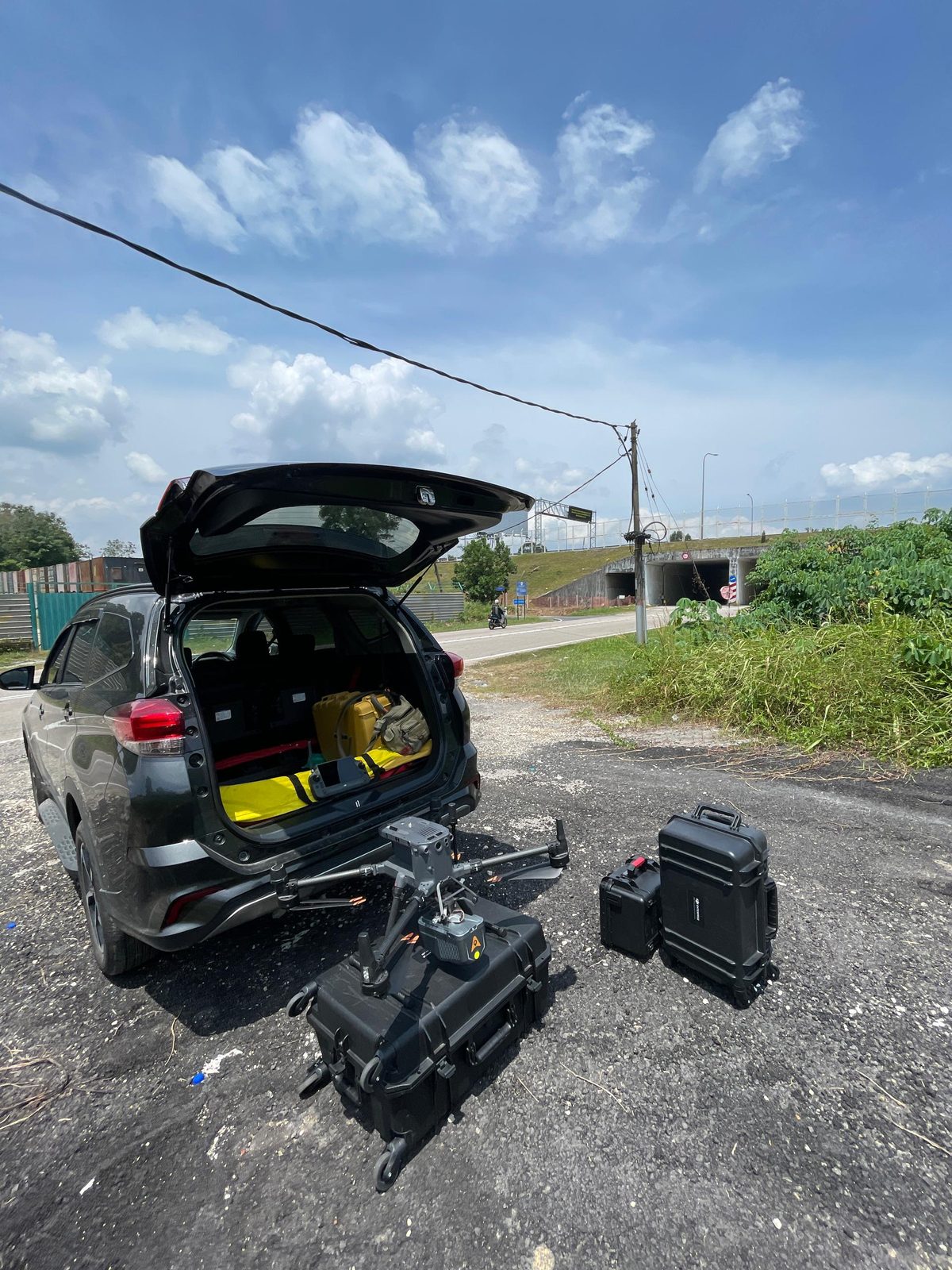
Aerial Mapping Survey
UAV / drone photogrammetry
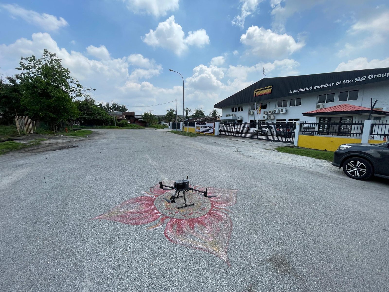
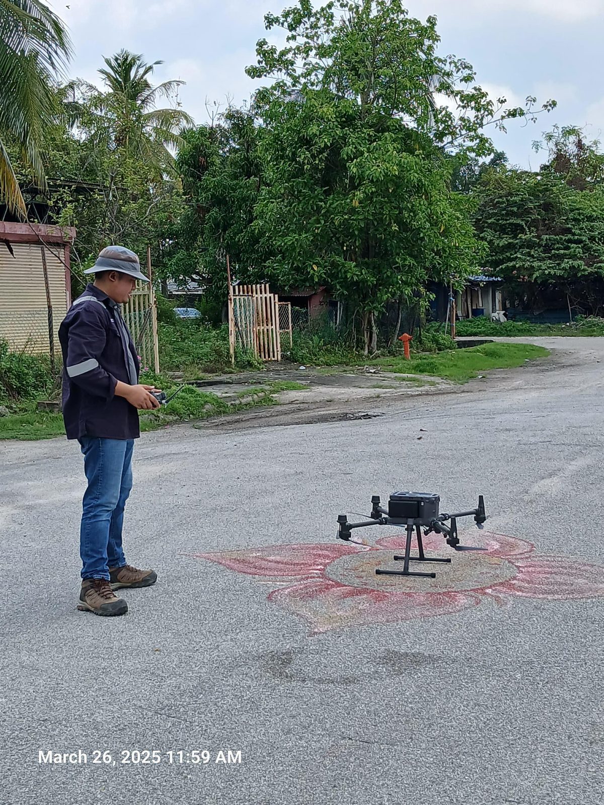
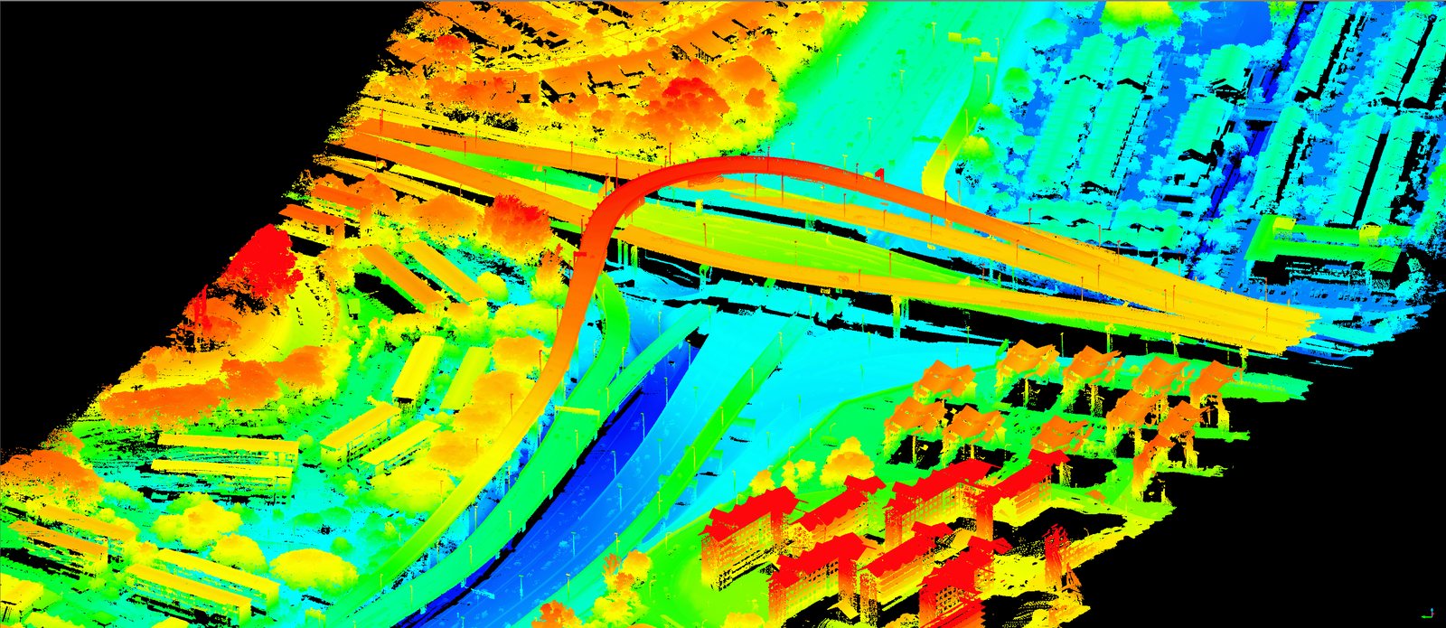
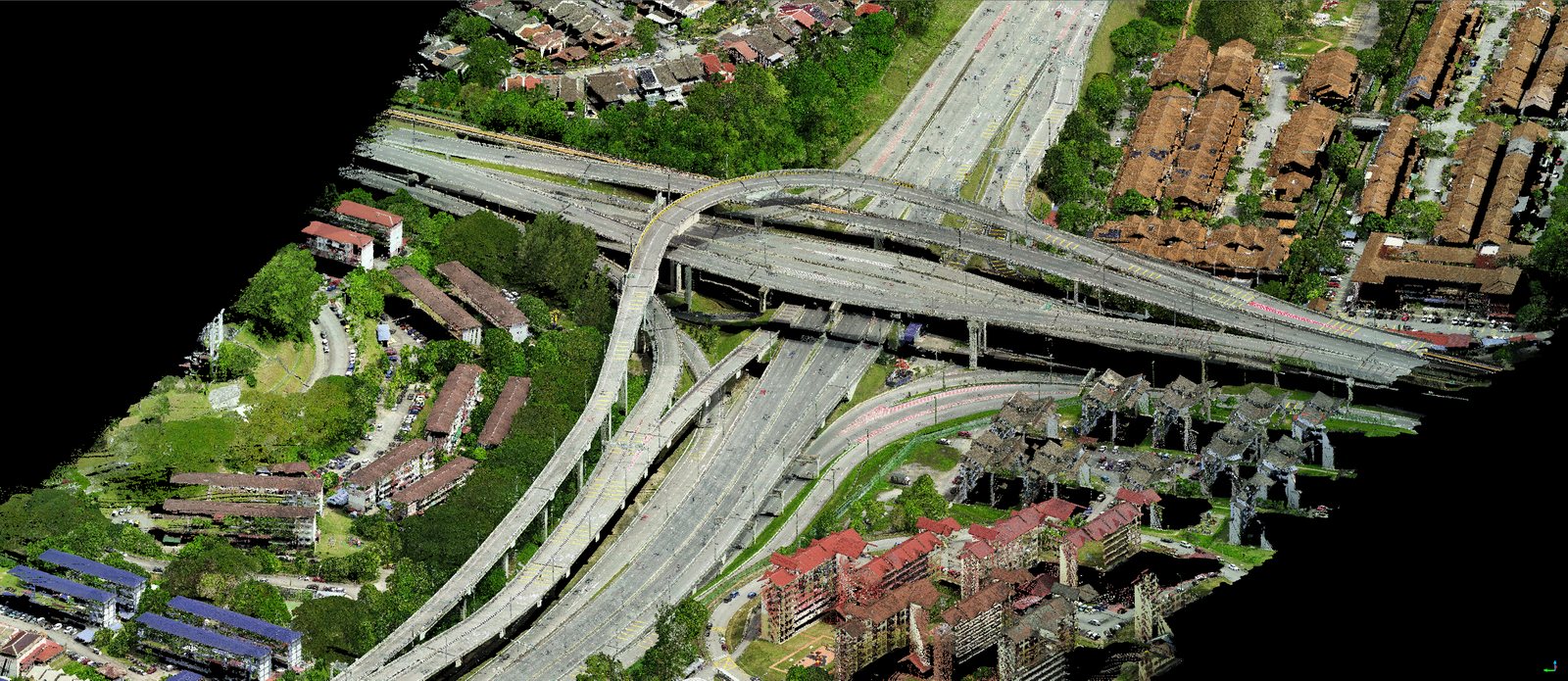
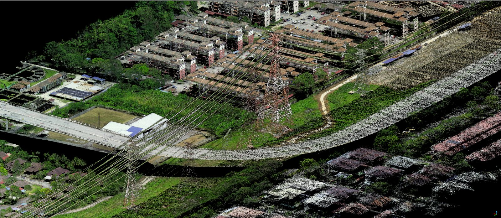
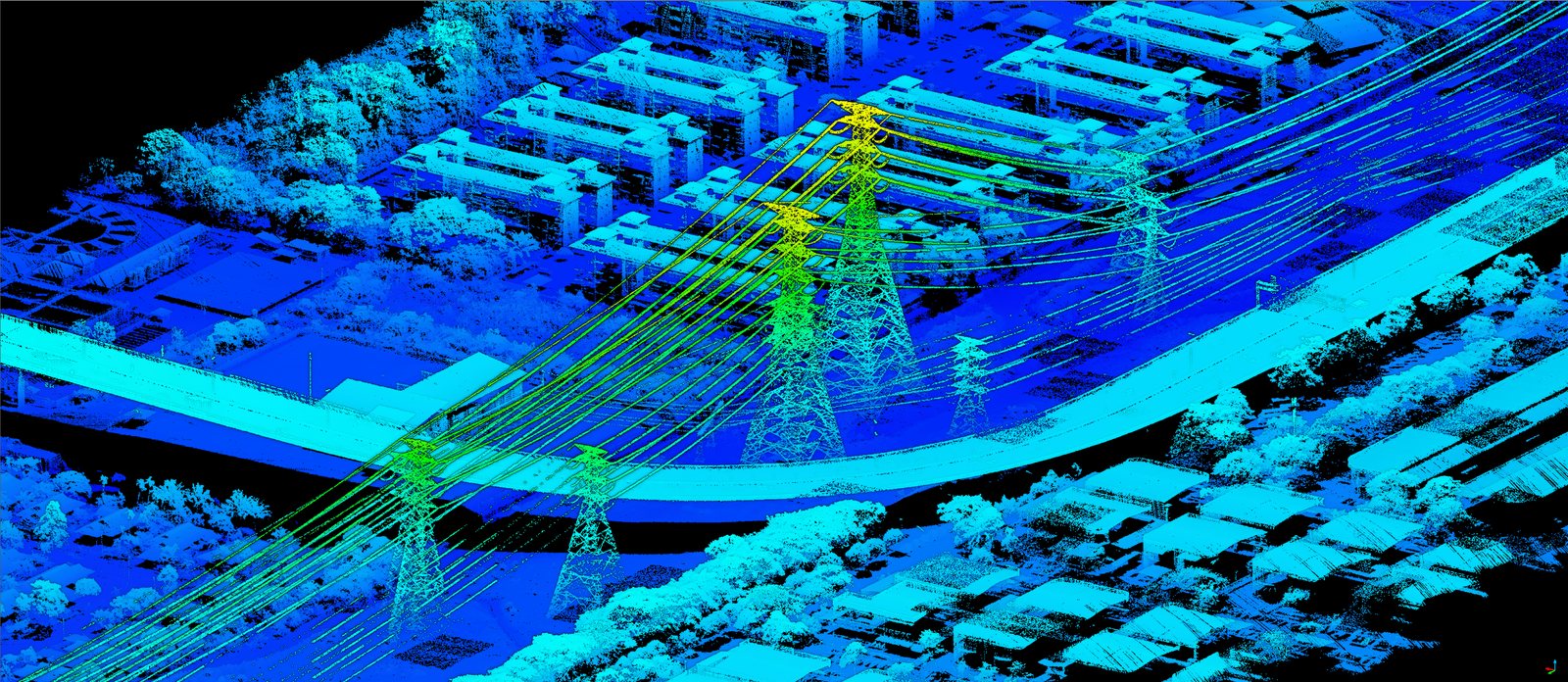
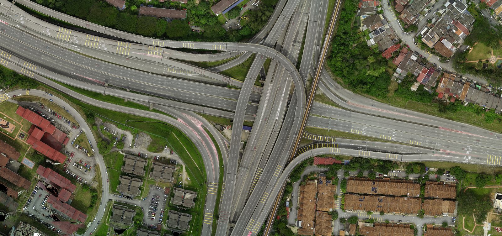
Aerial mapping survey uses unmanned aerial vehicles (UAVs) to capture high-resolution imagery of a site from above, processed photogrammetrically into orthophotos, digital terrain and surface models, contours and 3D data. It is ideal for large or difficult-to-access areas, delivering dense, accurate spatial data far faster than ground methods alone.
Methodology & standards
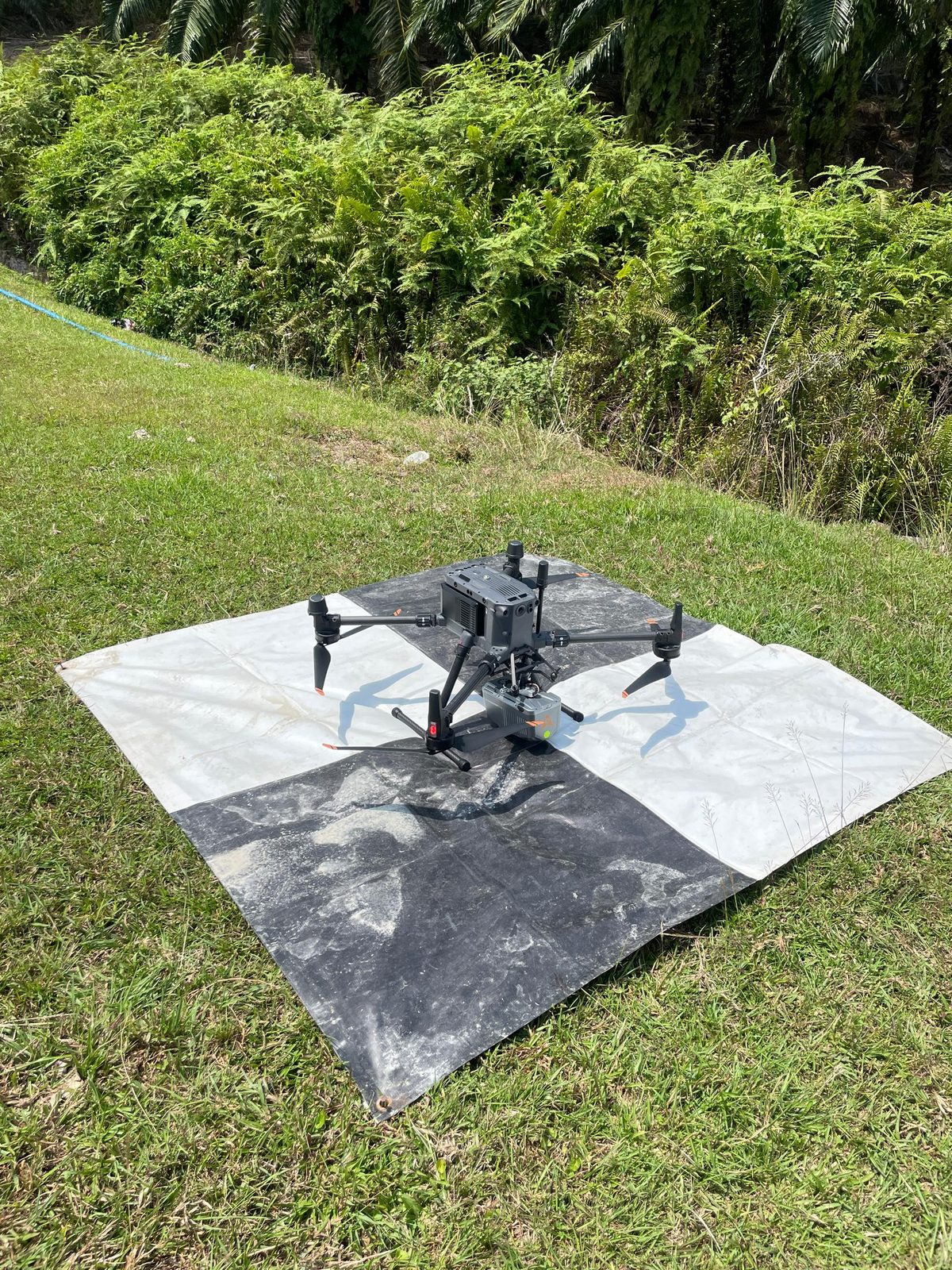
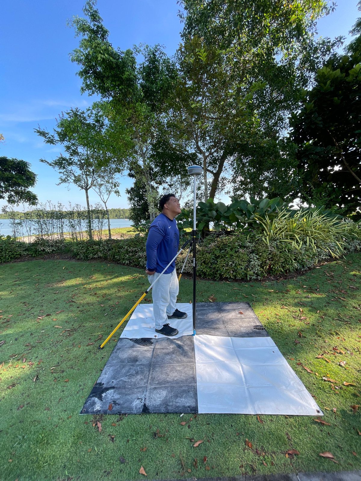
Ground control points are established and observed with GNSS before flight. The site is flown with a survey-grade UAV along planned, overlapping flight lines; the imagery is then processed by photogrammetric software into georeferenced orthomosaics, point clouds and terrain models, and checked against control to confirm accuracy.
Survey outputs
On site