Our Kit

Equipment

We invest in modern, survey-grade instrumentation and processing systems — from robotic total stations and GNSS to 3D laser scanning and UAV mapping — so we can deliver accurate, efficient results on land and at sea.
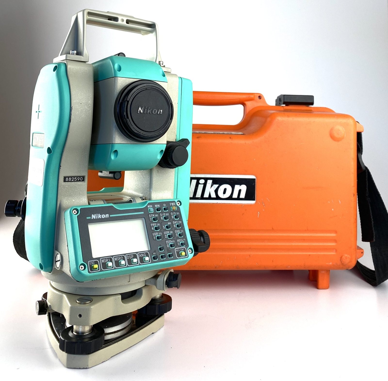
Total Stations
Nikon DTM-332

Total Stations

  • Topcon ES-105
  • Topcon OS-101
  • Leica TS06
  • Nikon DTM-332
  • Nikon NPL-332
  • Nikon Nivo M+
GNSS / GPS Receivers
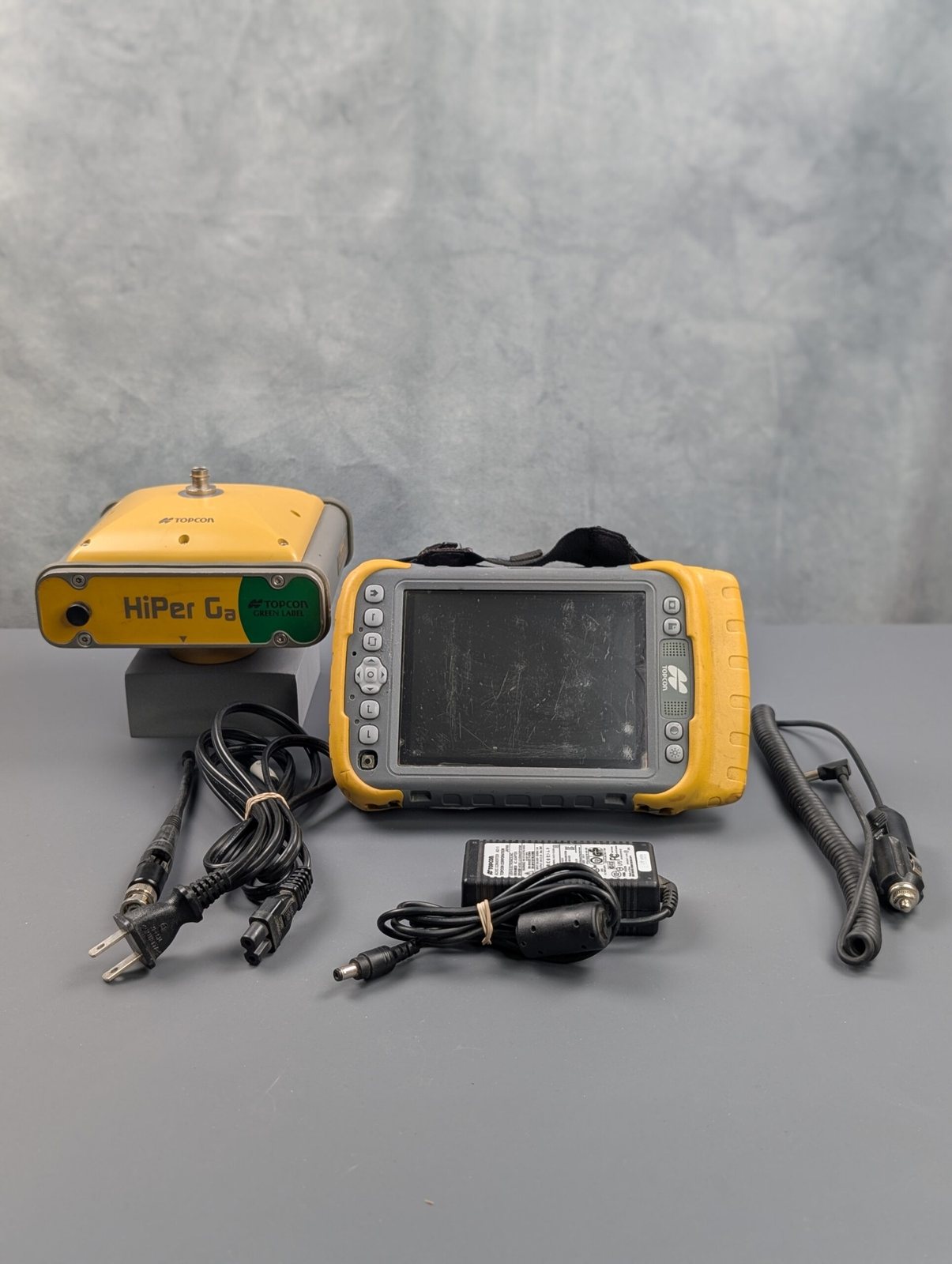
Topcon HiPer Ga

GNSS / GPS Receivers

  • Topcon HiPer GA
  • Topcon HiPer HR
  • Topcon GR5
  • Field controllers — FC-200 / FC-500 / FC-5000
3D Laser Scanning
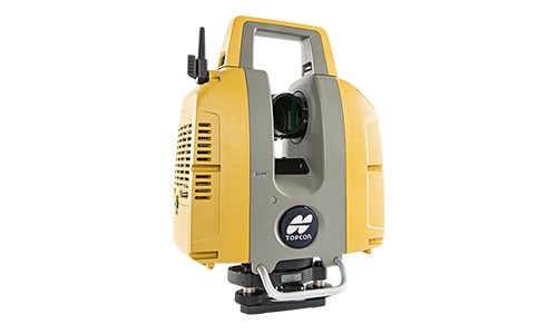
Topcon GLS-2000

3D Laser Scanning

  • Topcon GLS-2000 — terrestrial laser scanner
  • GeoSLAM ZEB-Reno — mobile / handheld SLAM scanner
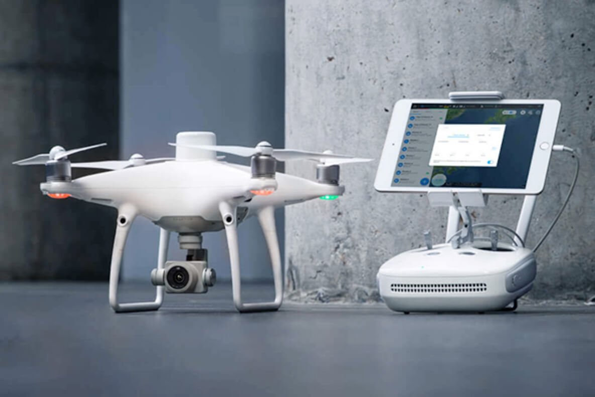
UAV / Drone Mapping
DJI Phantom 4 RTK

UAV / Drone Mapping

  • DJI Phantom 4 Pro
  • DJI Phantom 4 RTK
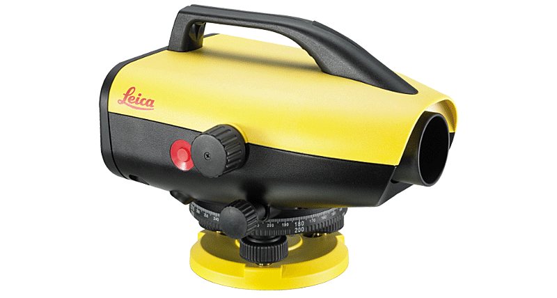
Levelling
Leica Sprinter 150M

Levelling

  • Leica LS10 — precise level
  • Leica Sprinter 150M — digital level
  • Automatic levels (AT-B4 / Nikon)
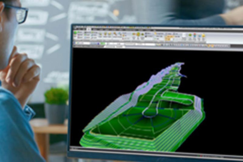
Processing & Software
Topcon MAGNET Collage

Processing & Software

  • AutoCAD / Autodesk
  • CPS — Cadastral Processing System
  • CDA — Civil Design & Survey
  • Topcon MAGNET Collage
  • GeoSLAM software
  • HP DesignJet plotters

Photos shown are representative of the instrument models we operate; we will replace them with photographs of our own equipment on site.